Personalised Map Jigsaw Puzzles
Looking for that perfect gift to celebrate a loved one's birthday, anniversary, or wedding? Well, we've got just the thing – personalised map jigsaw puzzles! 🧩✨ Imagine a gift that's not just a present but a cherished memory. These map puzzles focus on a special location that means the world... Read More
Showing 10 products
-
Vendor:All Jigsaw Puzzles
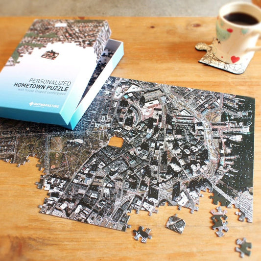
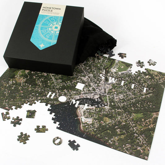
"My Hometown" Personalized Map Jigsaw Puzzle (USA Aerial & USGS)
Shop NowCustom MadeRegular price £19.99 GBPSale price £19.99 GBP Regular priceUnit price per -
Vendor:All Jigsaw Puzzles
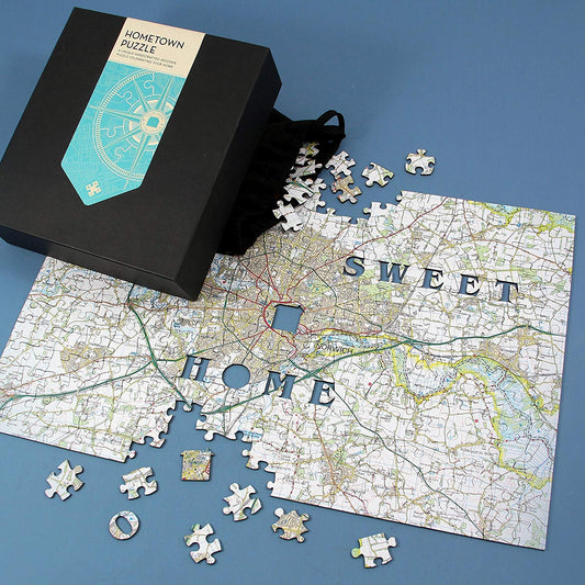
Hometown Personalised UK Map Jigsaw Puzzle
Shop NowCustom MadeRegular price £19.99 GBPSale price £19.99 GBP Regular priceUnit price per -
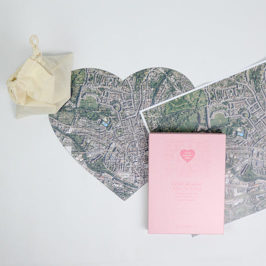
Vendor:All Jigsaw Puzzles
Hometown Heart-Shaped UK Map Jigsaw
Shop NowCustom MadeRegular price £34.99 GBPSale price £34.99 GBP Regular priceUnit price per -
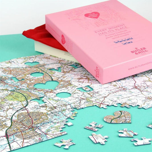
Vendor:All Jigsaw Puzzles
Hometown Mother's Day UK Map Jigsaw Puzzle
Shop NowCustom MadeRegular price £34.99 GBPSale price £34.99 GBP Regular priceUnit price per -
Vendor:All Jigsaw Puzzles
Personalised World Map 400 Piece Puzzle
Shop NowCustom MadeRegular price £19.99 GBPSale price £19.99 GBP Regular priceUnit price per -
Vendor:All Jigsaw Puzzles
We First Met Here - 400 Piece Personalised Jigsaw
Shop NowCustom MadeRegular price £35.00 GBPSale price £35.00 GBP Regular priceUnit price per -
Vendor:All Jigsaw Puzzles
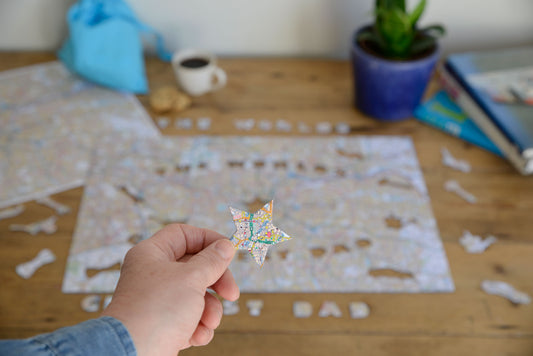
World's Greatest Dad Personalised Map Jigsaw
Shop NowCustom MadeRegular price £34.99 GBPSale price £34.99 GBP Regular priceUnit price per -
Vendor:Butler & Hill
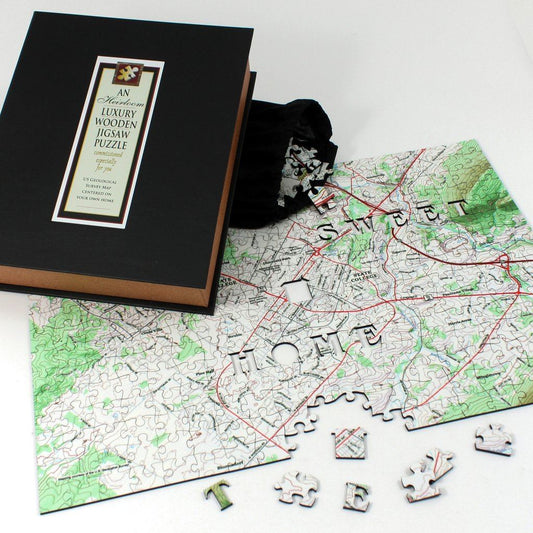
"My Hometown USA" Personalized Wooden Map Puzzle
Shop NowCustom MadeRegular price £65.00 GBPSale price £65.00 GBP Regular priceUnit price per£49.50 GBP -
Vendor:All Jigsaw Puzzles
Hometown Wooden Map Jigsaw Puzzle
Shop NowCustom MadeRegular price £50.00 GBPSale price £50.00 GBP Regular priceUnit price per -
Vendor:All Jigsaw Puzzles
Mother's Day Hometown US Map Jigsaw Puzzle
Shop NowCustom MadeRegular price £34.99 GBPSale price £34.99 GBP Regular priceUnit price per